
Understanding the Mara
Mara Triangle vs the Main Reserve
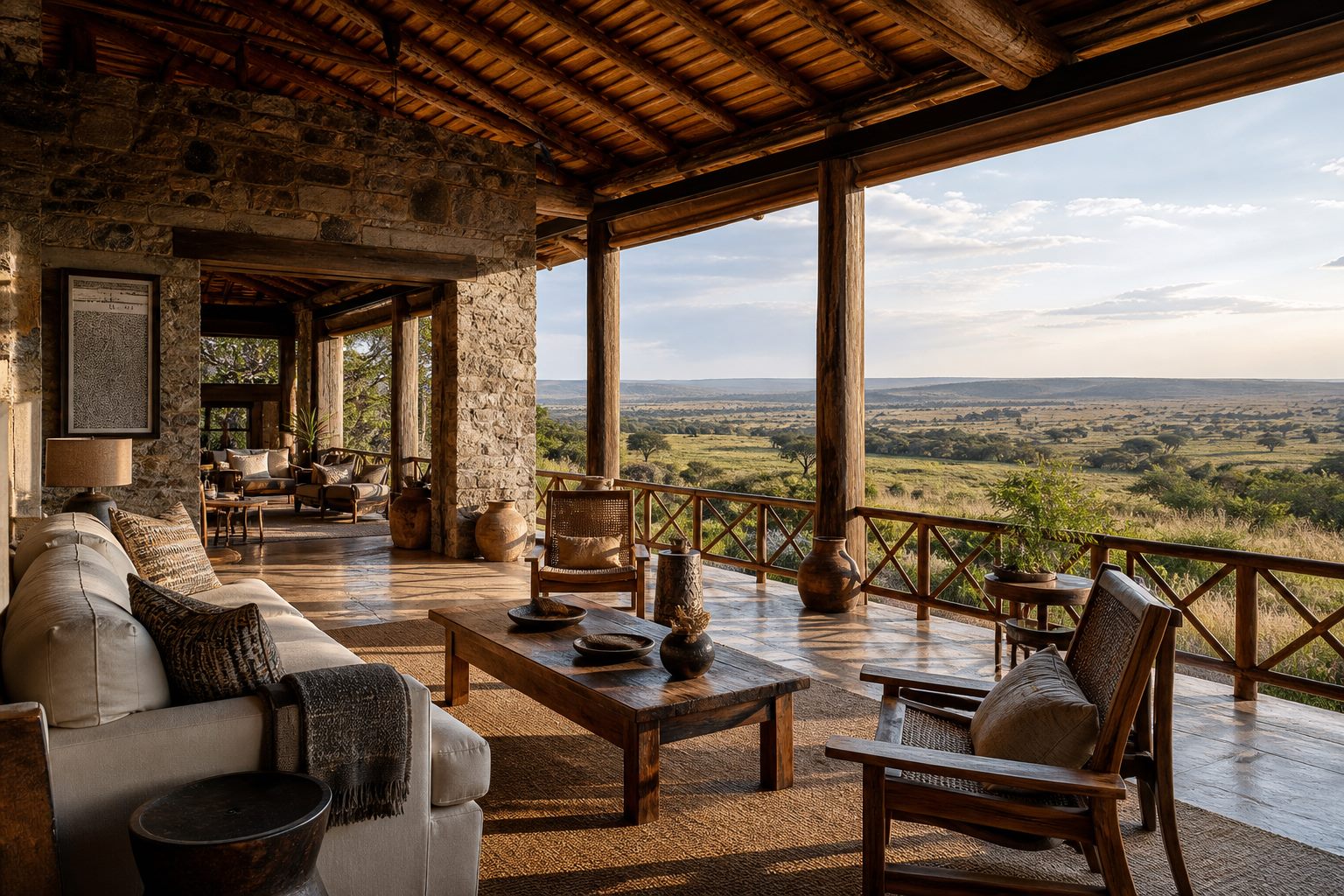
West of the Mara River, the Triangle rises toward the Oloololo Escarpment. Across the river, the main reserve opens toward Talek and Sekenani. They share one ecosystem, but access, management and the rhythm on the tracks feel noticeably different.
The short version
The Mara Triangle is the western wedge of the Reserve, bordered by the Mara River to the east and the Oloololo Escarpment to the west. Since 12 June 2001, it's been managed under a public-private arrangement by Mara Conservancy Ltd, a not-for-profit management company, rather than directly by county government. The rest of the Reserve — the larger Narok Sector, sometimes called the "main Reserve" — is managed by the Narok County Government.
Same protected ecosystem, same wildlife moving freely between them — but two different management teams setting the rules on the ground.
Why the management split happened
The Mara Triangle historically suffered from under-resourced management and heavy poaching pressure. The 2001 agreement handed day-to-day management, revenue collection and conservation funding to a dedicated management company, with proceeds reinvested directly into the Triangle's roads, ranger patrols and infrastructure — a model widely credited with the Triangle's stronger anti-poaching record and better-maintained road network in the years since.
"Same protected ecosystem, same wildlife — two different management teams setting the rules on the ground."
The Short Version
| Mara Triangle | Narok Sector (Main Reserve) | |
|---|---|---|
| Managed by | Mara Conservancy Ltd (since 2001) | Narok County Government |
| Location | Western wedge, along the Mara River | Larger central and eastern portion |
| Road condition | Generally well maintained | Variable, more heavily trafficked in places |
| River crossing points | Most of the well-known crossing points | Fewer, further from the river's main course |
| Access gates | Oloololo, Purungat, Serena | Sekenani, Talek, Sand River and others |
Which one should you choose?
- Choose the Mara Triangle if you are travelling during migration season and want to stay near known crossing points, or if you simply prefer fewer vehicles and better-kept roads.
- Choose the Narok Sector for easier access from Nairobi by road (most of the main gates sit on this side), or if your camp is already positioned there for other reasons — it holds the same core wildlife density outside crossing moments.
- Access between the two is possible within a single day via the Mara Bridge, so a camp in one sector doesn't fully rule out a day exploring the other.
Frequently asked questions
Do I pay separate entry fees for the Mara Triangle?
Yes — the Triangle and the Narok Sector charge separately, and fees are collected by their respective management bodies. See our park fees guide for current structures.
Can I drive between the Triangle and the Narok Sector in one day?
Yes, via the Mara Bridge crossing the Mara River, though most itineraries base a camp in one sector and explore that side primarily.
Is the Mara Triangle less crowded than the rest of the Reserve?
Generally considered so, partly due to fewer camps directly inside its boundary and partly due to its management's approach — though vehicle numbers at a major sighting can still build up during peak season anywhere in the Reserve.
Which sector is closer to Nairobi?
The Narok Sector's main gates sit closer to the Nairobi–Narok road, making road transfers marginally shorter than reaching the Triangle's western gates. See our road vs fly-in guide.
Related reading
Ready to choose your sector?
Tell us what matters most to you — we'll recommend the Mara Triangle, the Narok Sector, or a combination.